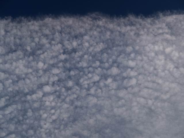
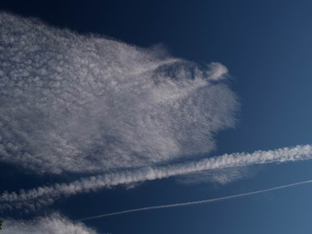
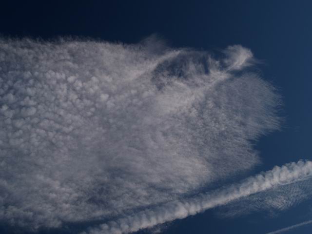
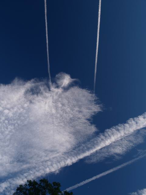
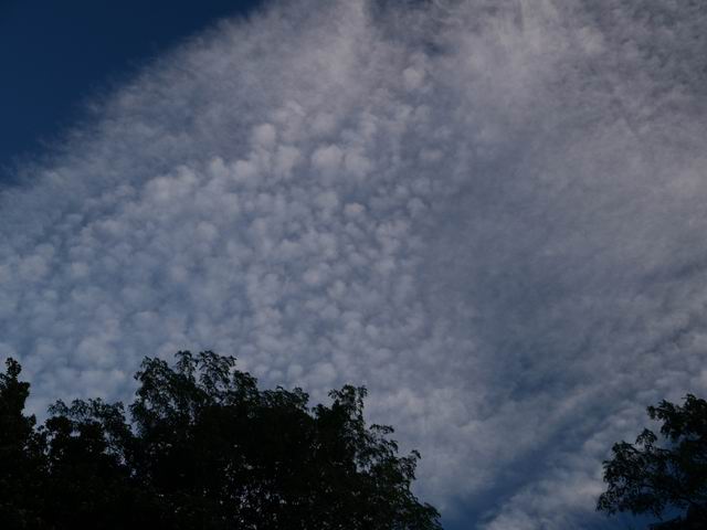
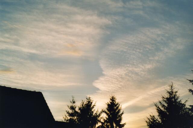
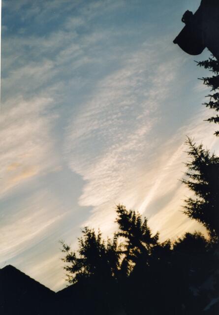
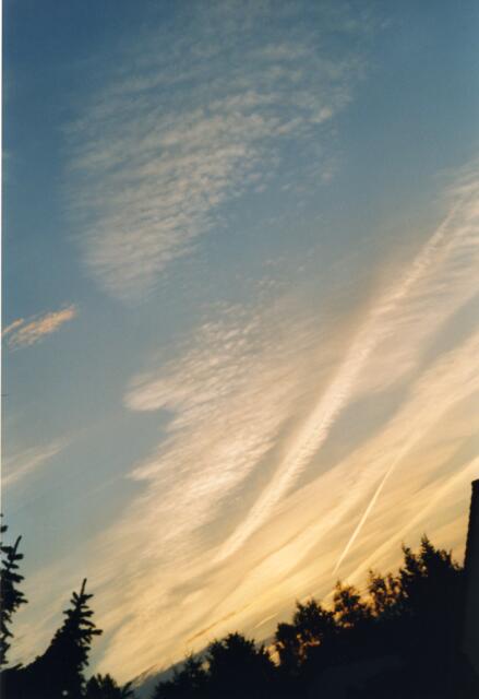
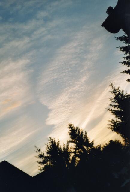
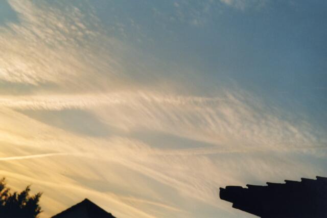
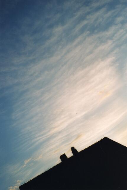
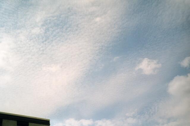
Cirrocumulus Clouds (Cc)
Cirrocumulus Clouds
Overview


Cirrocumulus Clouds


CirroCu11.jpg

CirroCu12.jpg

CirroCu13.jpg

CirroCu14.jpg

CirroCu15.jpg

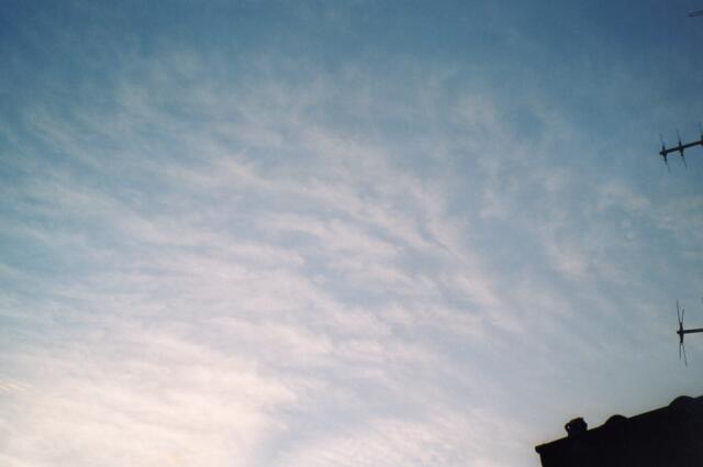
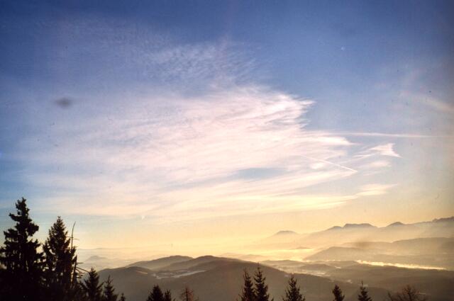
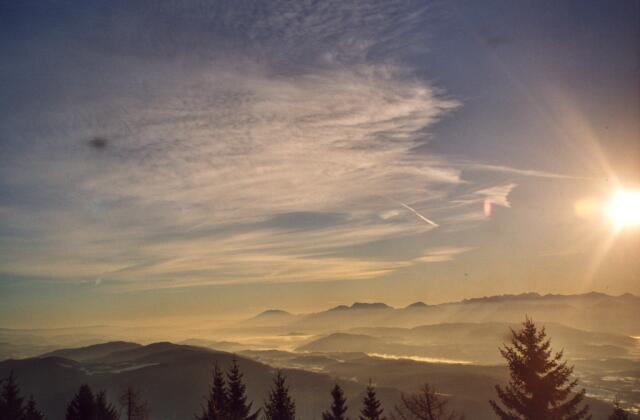
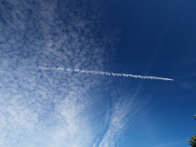
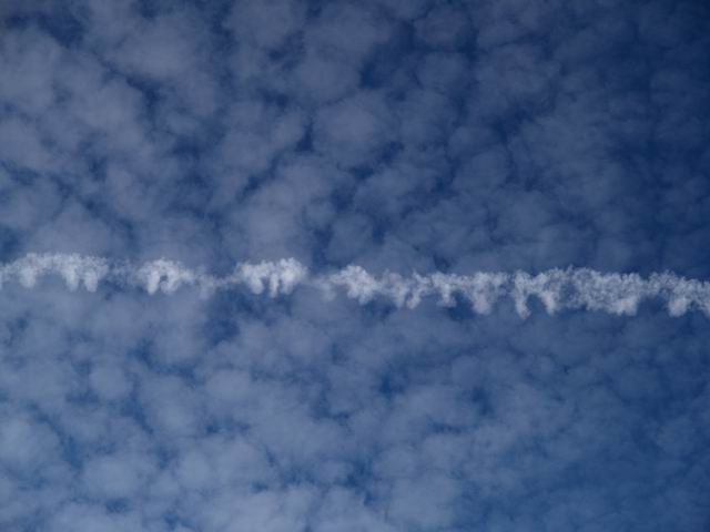
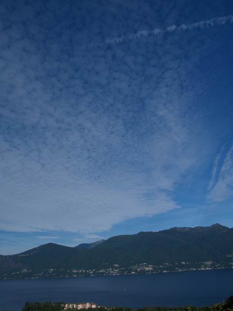
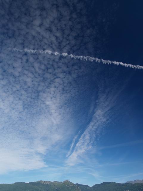
In many situations Cirrus Cumulus clouds are hardly to distinguish from fields of small Altocumulus clouds. The elements of Cirrus Cumulus clouds have an angular extension below 1 deg. This is roughly the width of the pinkie watching it with the arm spread out. Cirrus Cumulus clouds do not give an own shadow. Altocumulus clouds have an apparent angular width between 1 deg and 5 deg. Contrails can sometimes help to distinguish them.

CiCu1-6.jpg:
These five images display the flaked structure of the Cirrocumulus clouds. In particular these Cirrocumulus clouds derived from contrails which could have been noticed for quite a long time before.

CirroCu1.jpg to CirroCu3.jpg:
Here different natural Cirrocumulus clouds can be recognized which do not stem from contrails compared to the images of the first row. The pictures were taken on the same day.

CirroCu4.jpg and CirroCu5.jpg:
A Cirrocumulus cloud at the top left side is shown which changes to a Cirrus fibratus down right. The both pictures present the same cloud, whereby CiCu1.jpg was recorded earlier in the afternoon than CiCu2.jpg.

CirroCu6-15.jpg:
The neighbourhood and the views of the contrails prove that these are Cirrocumulus clouds. Hence at a cruising altitude above 8 km the probability is high to find ice-clouds. Furthermore the contrail occurs below the Cirrocumulus cloud (CirroCu6.jpg to CirroCu9.jpg). In CirroCu14.jpg a contrail casts a shadow on the Cirrocumulus cover.

CiCu1-6.jpg: S. Borrmann, Ingelheim, Germany, July 2002

CirroCu1-3.jpg: S. Borrmann, Ingelheim, Germany, July 2002

CirroCu4+5.jpg: S. Borrmann, Pulpit Rock, Carinthia, Austria, December 2001

CirroCu6-9.jpg: S. Borrmann, Brezzo di Bedero, Lago Maggiore Region, North-Italy, 22 August 2004, 9:35 a.m.

CirroCu10-15.jpg: S. Borrmann, Brezzo di Bedero, Lago Maggiore Region, North Italy, 22 August 2004, 7:34 p.m. to 7:39 p.m.