|
|
|
Contrails |
|
| Contrails | |
| Contrail Shadows | |
| Distrails | |
| Sky with Contrails | |
| Contrails at Wings | |
| Overview | |

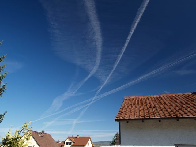
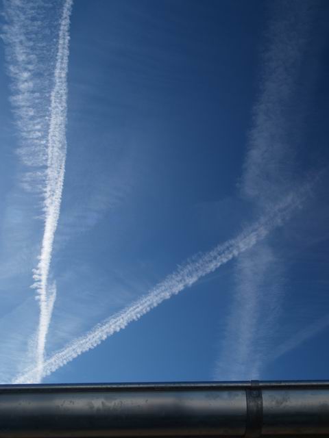
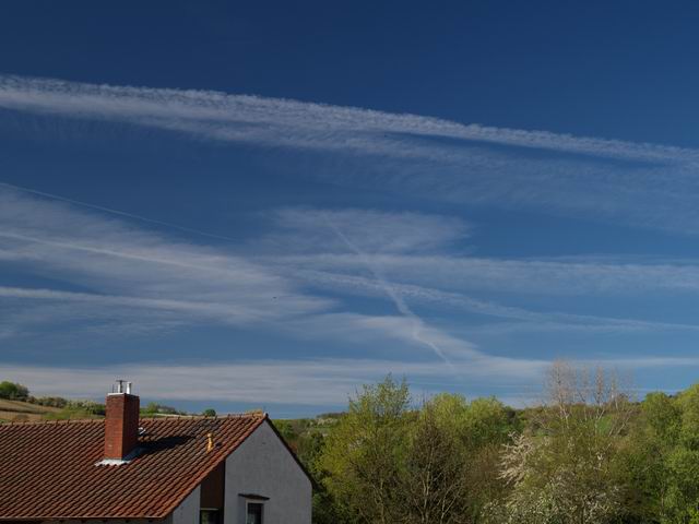
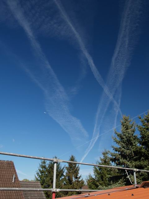
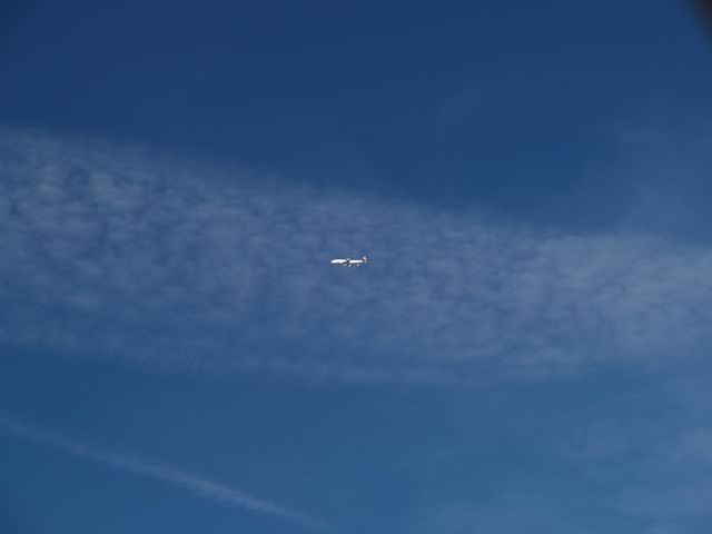
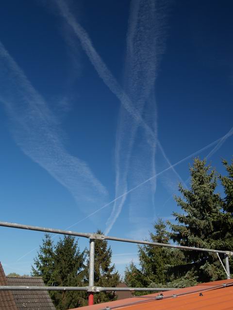
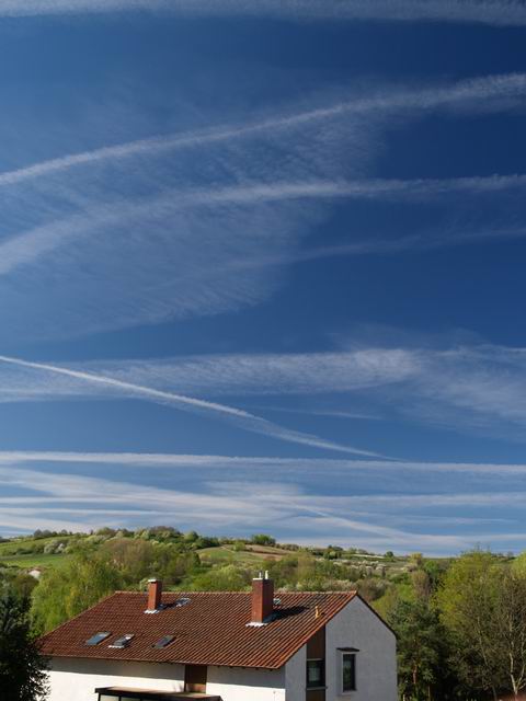
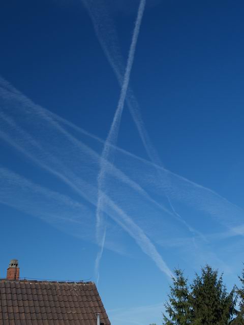
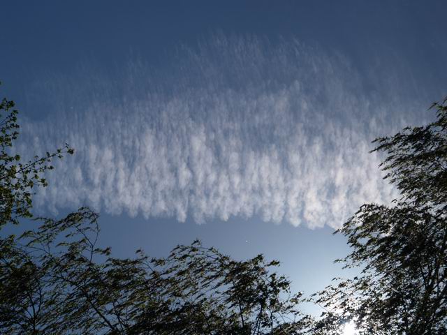
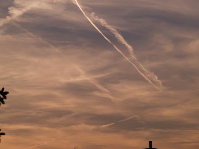
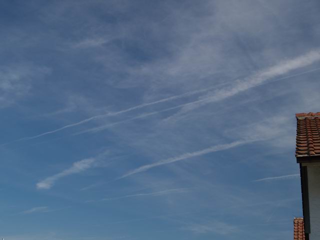
Sky covered with Contrails


|
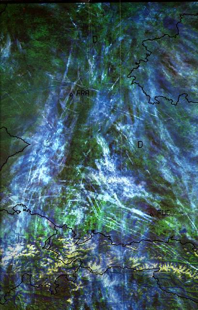
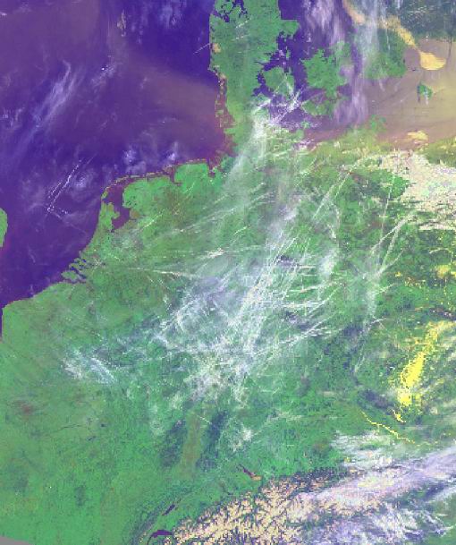
According to the radio weather forecast the 24 April 2004 was expected to be a "sunny spring day with brilliant blue sky". However, contrails cannot be "predicted". Hence the sky was covered with contrails more and more. They became broader until they finally resulted in a Cirrostratus layer. This layer lasted until the evening of the next day, whereby from Sky15.jpg it cannot be decided anymore, whether the clouds derived from the contrails or not. Mostly only observers can determine this watching the development over a longer period of time. The satellite images Satellite1.jpg and Satellite2.jpg clearly show that contrails covering the sky can be a meso-scale to regional phenomenon. Since the aircrafts are only allowed to fly on vertically shifted
paths due to safety reasons, the increasing covering of the sky
with long-living contrails means that the humidity of a vertically
larger layer in the upper troposphere is above ice saturation. |
Sky1.jpg to Sky14.jpg (except Sky11.jpg Sky12.jpg): S. Borrmann,
Ingelheim, Germany, 24 April 2004, 9:01 a.m. to 9:51 a.m.
|
Camera Parameters Olympus E-1 SLR using a 14-54 mm objective. Exposure and ASA selectivity choice (100 ASA) was performed by the program automation of the camera. The images were taken in the sRGB colour range with a resolution of 2560 x 1920 pixel x 24 colours. Several images were made using a polarisation filter. More details see below.
|
![]()