
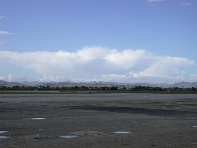
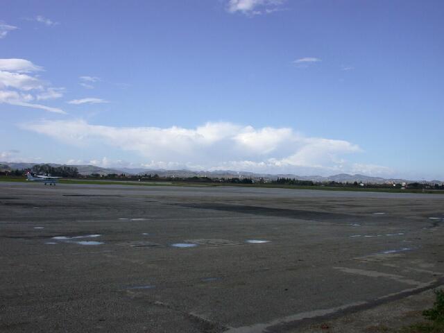
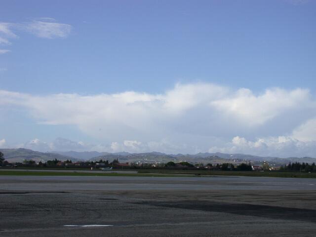
Development of Cumulonimbus Clouds


|
Here one can see the development of a Cumulonimbus above the mountains of Forli. The first images were taken at 11.30 a.m. and show a Cumulonimbus cloud just before icing. The last two pictures show the event 45 minutes later. |
Wind shear has inhibited the generation of a complete Cb as a thunderstorm
cloud which could generate precipitation. |
S. Borrmann, Forli, North Italy, 23 October 2002
|
![]()