
Cumulus congestus Clouds
- Series II -

|
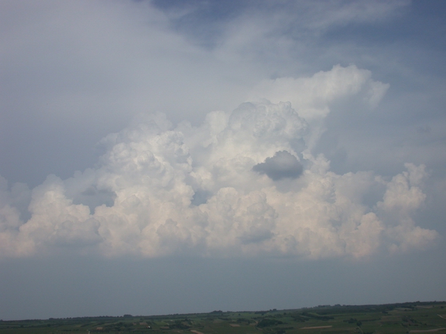
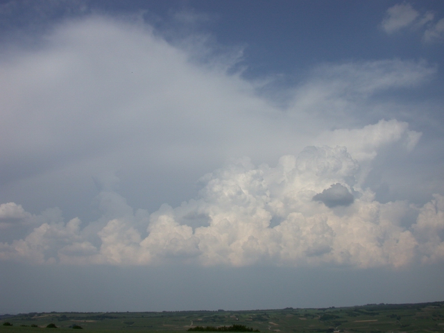
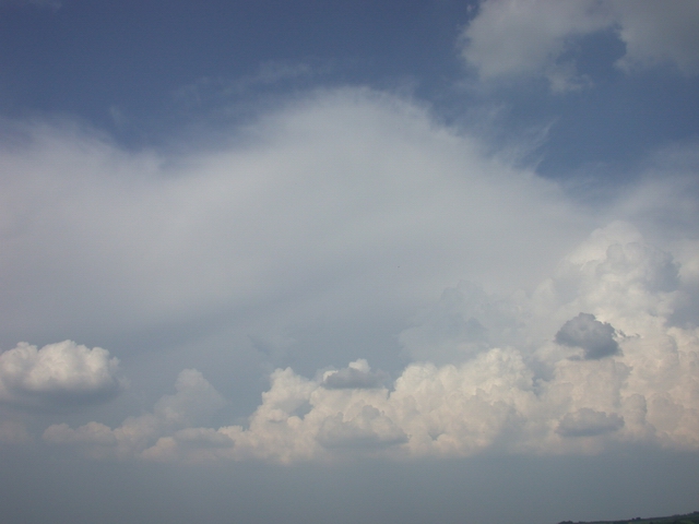
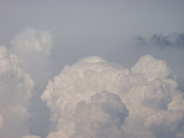
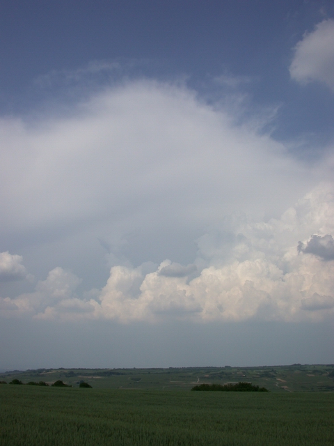
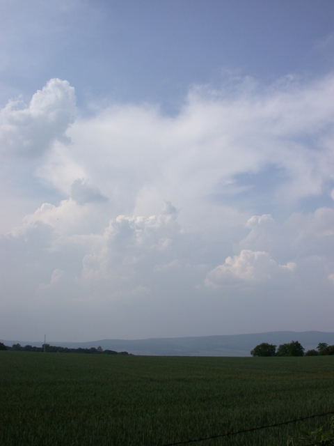
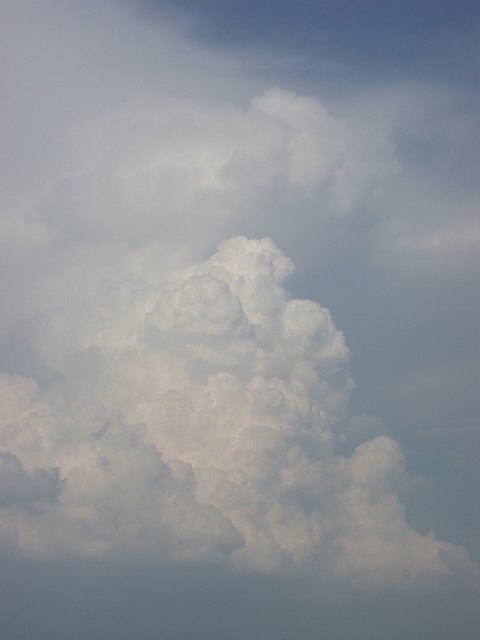
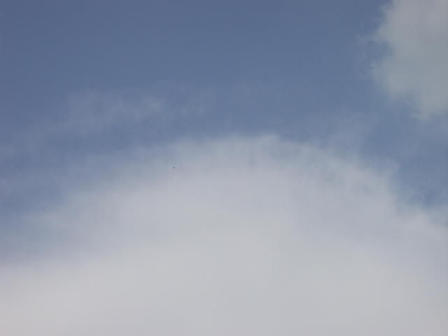
The pictures were taken from the Westerhill, a hill located near Ingelheim between Bingen and Mainz. The upper row shows the temporal development of a Cumulus congestus cloud in the attempt to grow to a Cumulonimbus. However an anvil cloud extending from northern directions prevents this. A Cb incus occurred above the Taunus, whose anvil covered more and more the pictured congestus (CuCongestus9.jpg). Thereby the Cumulus congestus cloud was shadowed by the anvil and a shearing flow became increasingly powerful. As a consequence the ascending cloud elements of the Cu congestus moved to the south (i.e. at the images of the upper row to the right). |
At last the generation of a full-grown Cb with incus from the Cu congestus was inhibited thereby. Nevertheless later this Cu congestus produced heavy rain. Another Cb incus cloud occurred to the west of the observer above the Hunsrueck. Its ambos also extended in direction of the Cu congestus. This is documented in the chapter Extending Incus. Also Cu_pileus3.jpg which can be found in chapter Cumulus pileus belongs to this series. It is identically to CuCongestus5.jpg. |
S. Borrmann, Rhinehesse, Germany, 30 May 2003
|
![]()