
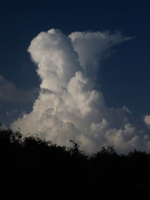
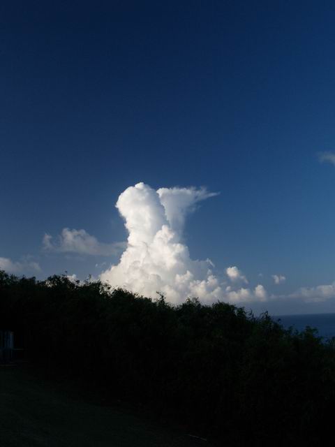
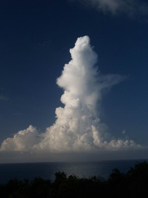
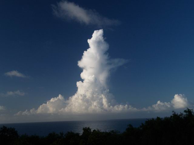
Cumulus congestus Clouds
- Series V -


|
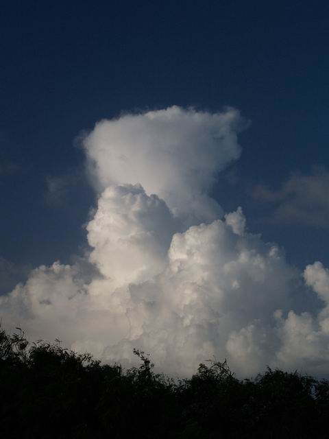
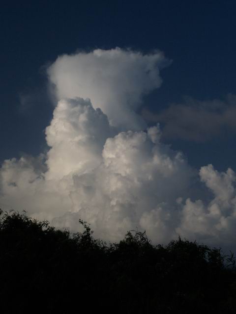
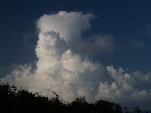
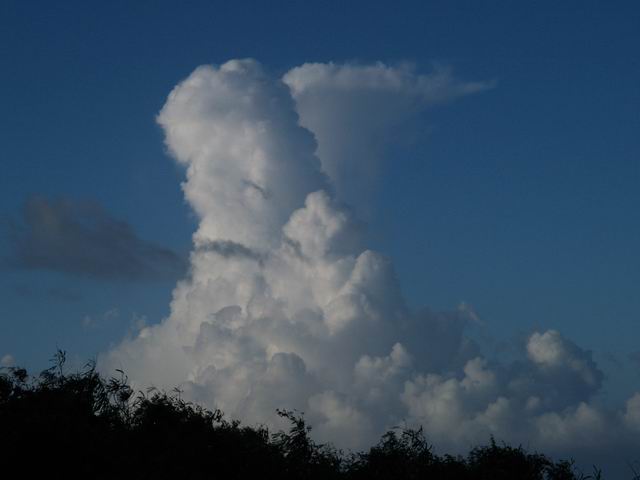
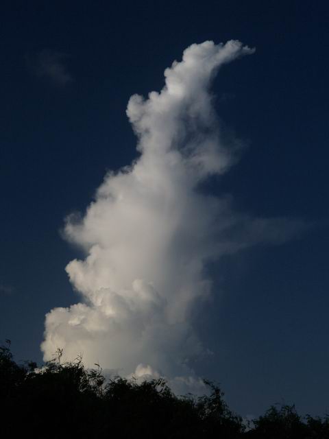
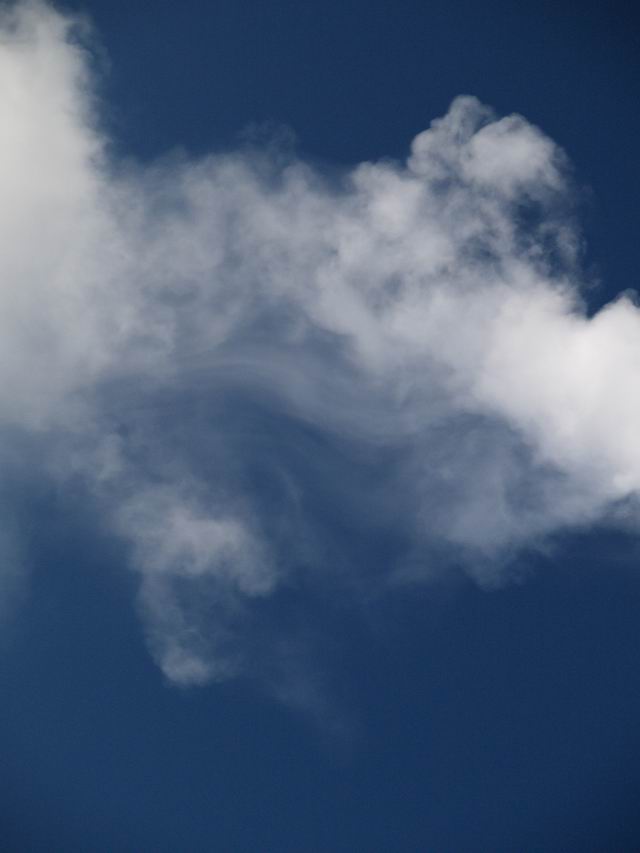
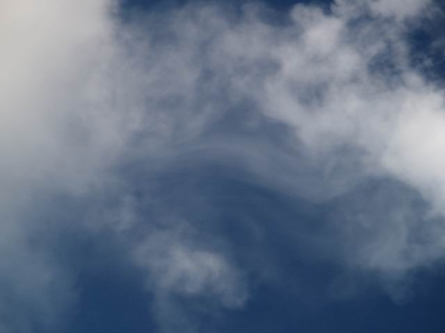
Two Cumulus congestus clouds developed in northerly direction of the lighthouse. The first one is presented in series CuCongPR1.jpg to CuCongPR7.jpg, the second one in series CuCongPR8.jpg to CuCong14.jpg. CoCongPR12.jpg and CuCongPR13.jpg indicate that strong turbulences played a significant role in the case of the second cloud. The convective motion was reduced very quickly and was nearly stopped at the moment when CuCongPR14.jpg was taken. The "lifting condensation level" of the marine boundary layer is clearly shown by the cloud base. |
S. Borrmann, Lighthouse near Fajardo at the North East Coast of
Puerto Rico, 11 December 2004 (RICO-PRACS Field Campaign) |
CuCongPR1-3.jpg: 4:39 p.m. |
![]()