
Cumulus arcus Clouds

|
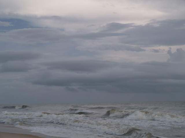
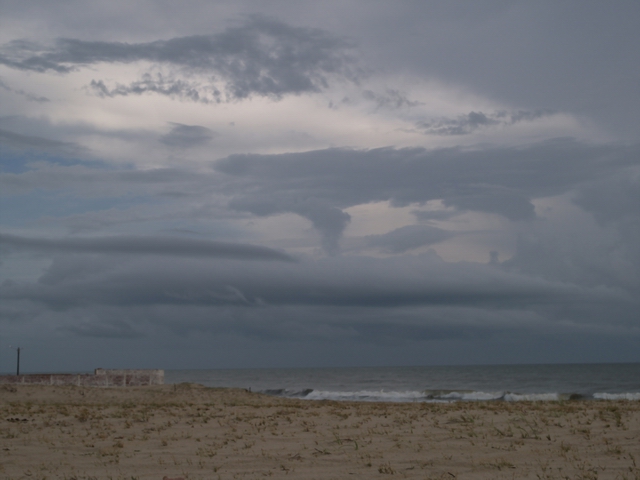
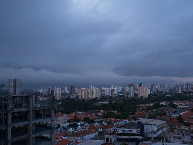
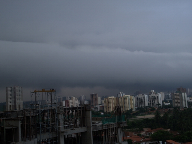
Phenomenology: Long sickle-like cloud rotors which sometimes are
also called "Cumulus arcus" result from gust winds. At
the front end of Cumulonimbus clouds an outflow of cold air from
the cloud base downwards occurs. Under certain complex fluid-mechanical
circumstances a rotor cloud can be generated. This happens only
when the outflow of cold air is associated with rain and is slowly
drifting away from the main rainfall region and this air is much
colder than the environment at the same time. |
This cloud can reach a linear extension of 100 km length. Wind velocities over 160 km/h can be associated to these squall rotors such that they might pose a risk for the air traffic. These images are copied from the chapters Tropical Rain and Squall line from Cb. Details about the whole atmospheric situation and the camera parameters are described there. |
CuArcus1+2.jpg: S. Borrmann, Morro Branco near Fortaleza, Ceara,
Brasilia, 24 February 2004, from 6:37 a.m. to 6:42 a.m.
|
|
An Olympus E-1 SLR with a 14-54 mm objective was used. All images were recorded with a sensitivity of 100 ASA within in the colour range sRGB. The exposure time was chosen automatically by the camera. The images have a resolution of 2560 x 1920 pixels x 24 colours. |
||
Cumulus arcus Clouds - Roll Cloud
 RollCloud |
![]()