
Status Nascendi - Cumulus humilis Clouds


|
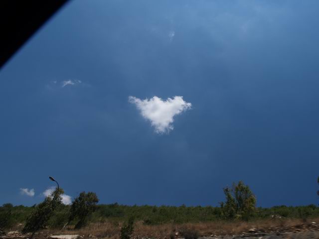
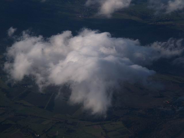
StatusNascendi.jpg: When no strong winds occur, one can often observe small clouds which are formed in sufficiently humid, summery boundary layer. The development occurs in three steps as summarized in this cartoon. The sun heats up the ground, until warm air bubbles are released from the ground (part 1 to 4) and move upwards. Because of the decreasing pressure the ascending air bubble expands and thereby cools down. When the "lifting condensation level" (LCL) is reached, small cloud droplets are formed by condensation of water vapour onto the aerosol particles that are already existing in the air. By this means small Cumulus humilis clouds arise (part 6). In some images a whitish veil around the clouds can be recognized. There are two possible reasons for this veil: the air contains aerosol particles which are swelling by uptake of water vapour and are in the process of growing to cloud droplets. Or the air is mixed with cloud droplets which are in the process of evaporation. If the pictured clouds are growing or dissolving at the moment cannot be derived from the images. Therefore the clouds have to be observed for a longer period of time. Cumulus humilis often disappear soon after their formation, when they are mixed with dry surrounding air (the so-called "entrainment", see part 5). This results in sub-saturation and the droplets evaporate. Only if the surrounding air is humid enough Cumulus humilis can grow to Cumulus mediocris and even larger Cumulus types. Large Cumulus types are also not formed when low turbulences do not support the entrainment of dry air. |
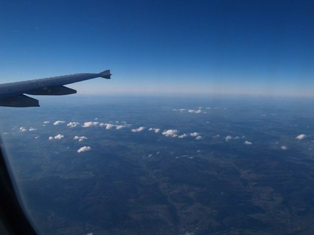
In BLClouds.jpg one can recognize the ongoing formation of clouds
at the top of the boundary layer above Southern Germany (the Alps
are displayed in the background). Small cloud clusters or smaller
clouds with cell structure are formed from the hazy, humid boundary
layer especially in the foreground at the lower left side. In the
centre and the background of the images mature Cumulus humilis can
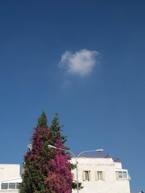
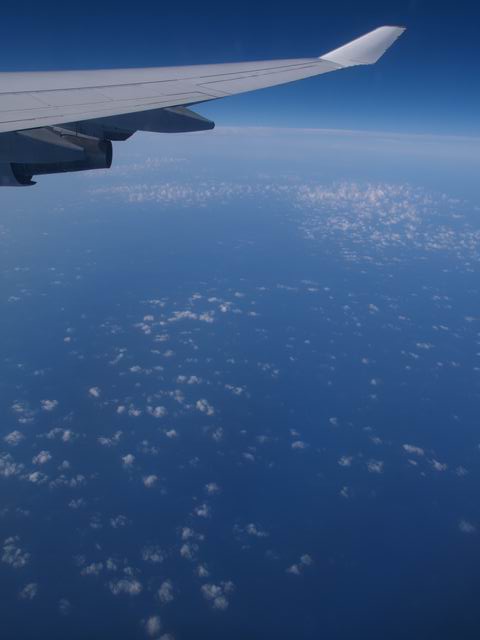
be observed. CuHumilis1.jpg to CuHumilis5.jpg: Here are also clouds shown which are right under development. The Cumulus humilis clouds were observed at a cruising altitude of 11 km and derived from local convection. In CuHumilis1.jpg the clouds have already developed into the next larger type of Cumulus mediocris. Small Cumulus humilis were also formed at the same day above the Mediterranean. If these clouds stem from local convection or if they are boundary layer top clouds (see Status nasc., BLTop or Cumuli, maritime boundary layer), cannot be determined from the images for sure. CuHumilis6.jpg to CuHumilis12.jpg: These pictures display arising and matured Cumulus humilis clouds when passing them in their altitude. |
StatusNascendi.jpg: S. Borrmann; Lecture Series "Experimental
Meteorology III: Cloud Physics", Institute for Physics of the
Atmosphere, Johannes Gutenberg University, Mainz CuHumilis3.jpg: S. Borrmann, Rehovot (Campus of the Weizmann Institute),
Israel, 2 June 2005, 8:05 a.m.
|
![]()