
Tradewind Cumulus Clouds

|
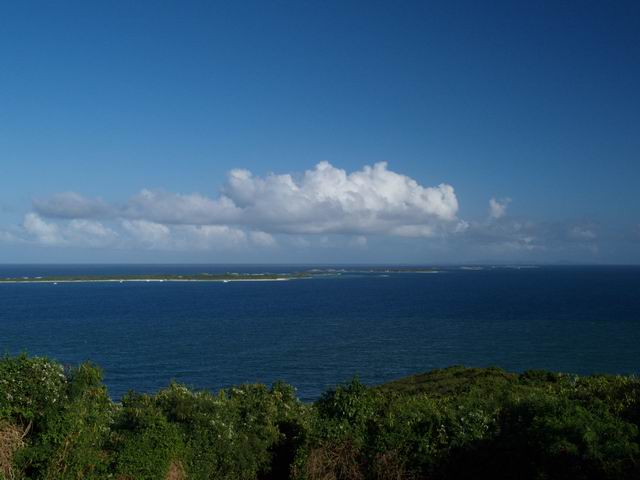
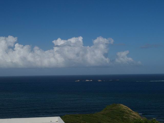
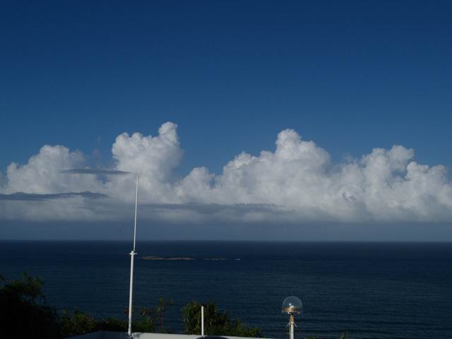
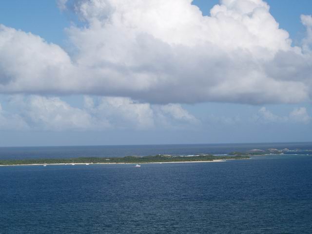
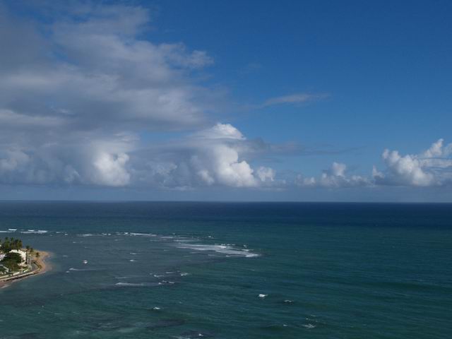
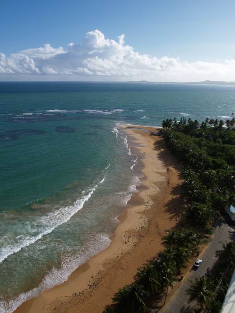
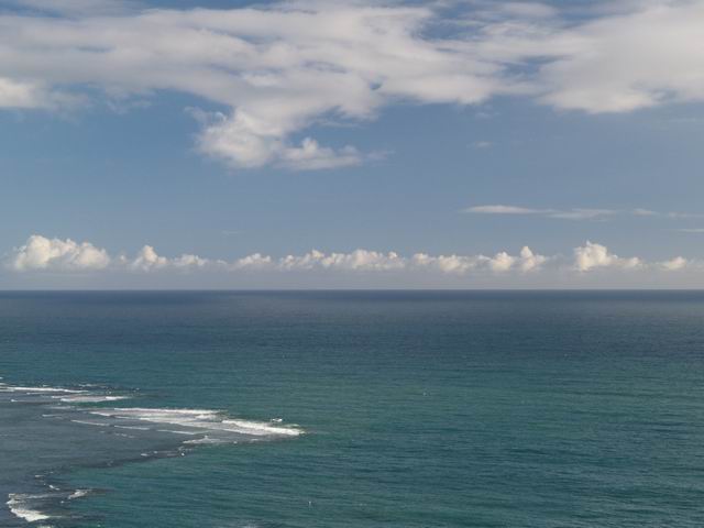
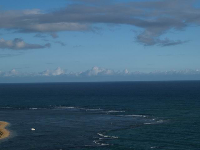
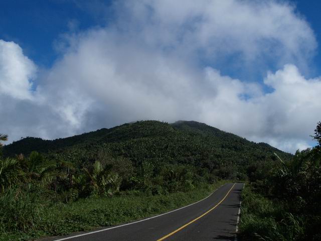
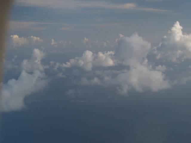
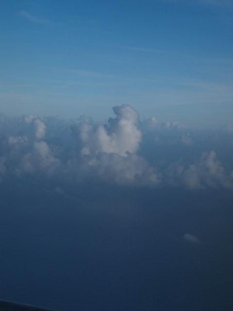
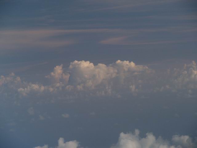
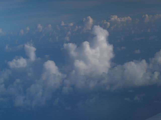
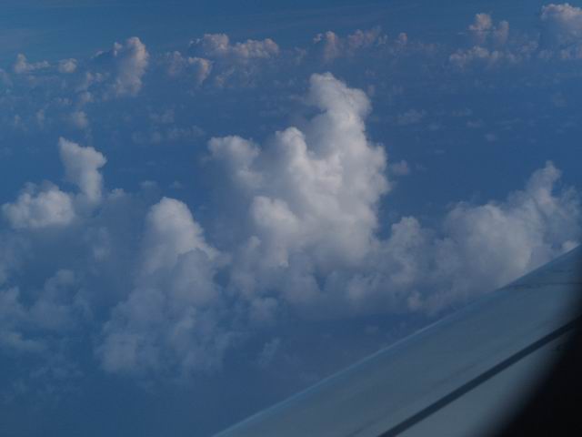
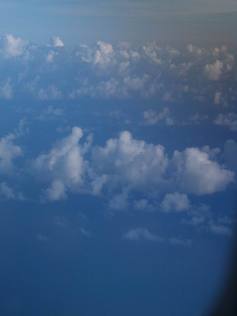
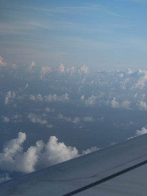
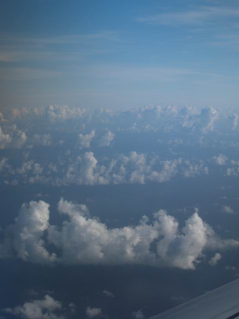
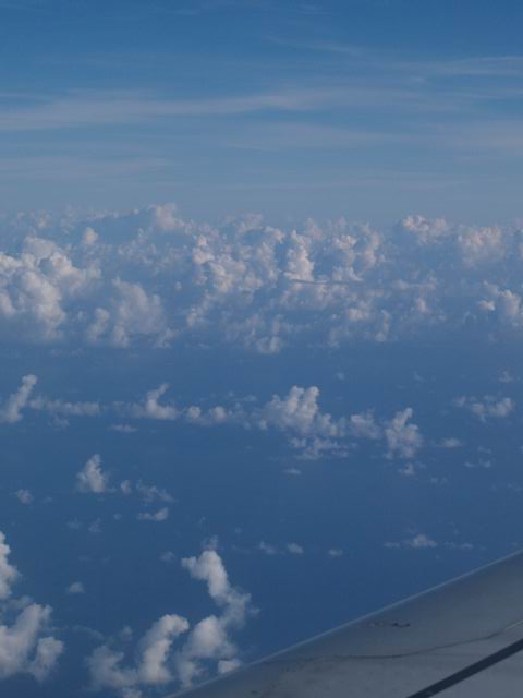
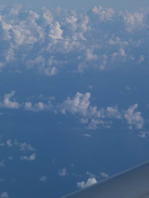
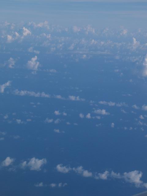
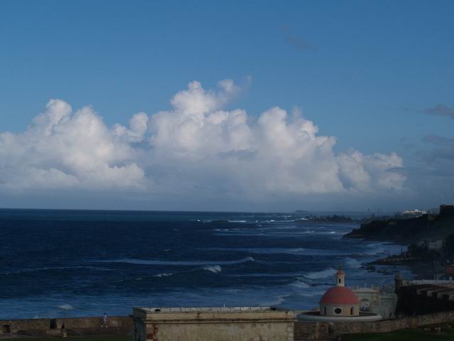
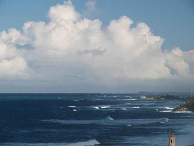
In the regions of the trade winds (here the North-East Trade Wind above the Caribbean) rows of low Cumulus clouds are often formed between altitudes of around 600 m and 2 km. These characteristic "trade wind cumulus" are presented in these images - especially in the ones taken from the aircraft. They demonstrate the weak convection which occurs above the ocean at these latitudes. Tradewind10.jpg shows how these clouds look like when they are passing the mountains of the "Sierra de Luquillo" which have an altitude of approximately 1065 m. The mountains (here the East Peak next to the El Yunque Peak) are located around 20 km southwest of the "Lighthouse Point" at the coast (first row). |
The clouds belong to the kinds of Cumulus humilis, mediocris, fractus and congestus (Tradewind5.jpg). Some of the presented clouds are of the type of Cumulus castellanus clouds (see chapter Stratocumulus castellanus). The images Tradewind23.jpg and Tradewind24.jpg show clouds (Cumulus congestus) which are significantly larger than the typical trade wind clouds. |
Tradewind0-3.jpg: S. Borrmann, Lighthouse Point, North Eastern
Puerto Rico, RICO-PRACS Field Campaign, 11 December 2004, 4:50 p.m.
to 4:56 p.m. |
![]()