|
|
|
Specials |
|
| Isobaric Mix Clouds | |
| Mix Clouds II | |
| Cold Front | |
| Convective Action | |
| Overview | |

Mix Clouds Series II
 MixClouds1.jpg |
 MixClouds2.jpg |
 MixClouds3.jpg |
 MixClouds4.jpg |
 MixClouds5.jpg |
 MixClouds6.jpg |
 MixClouds7.jpg |  MixClouds8.jpg |
 MixClouds9.jpg |
 MixClouds10.jpg |
 MixClouds11.jpg |
|
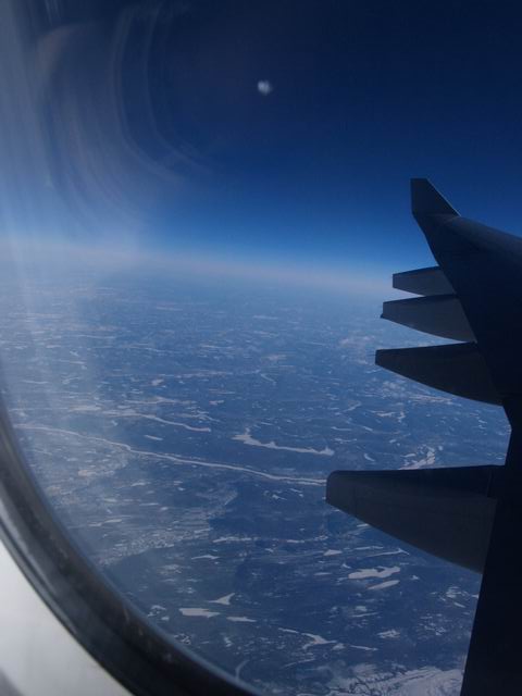
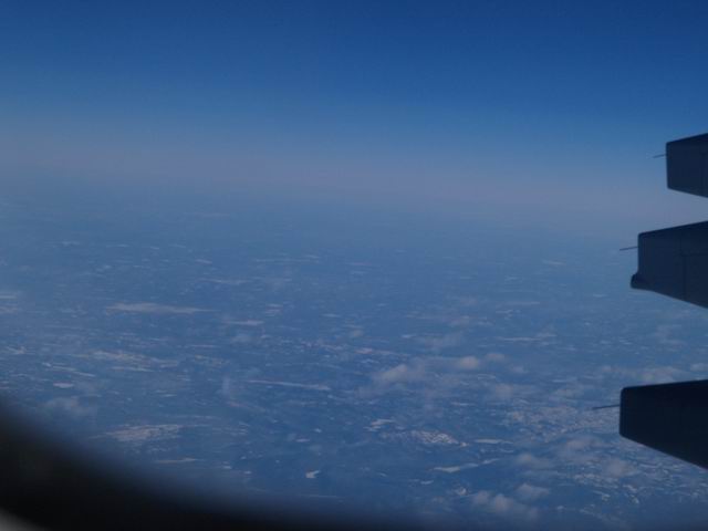
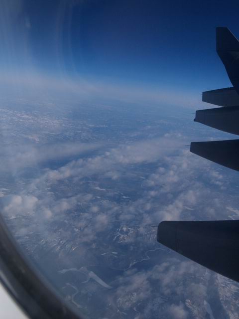
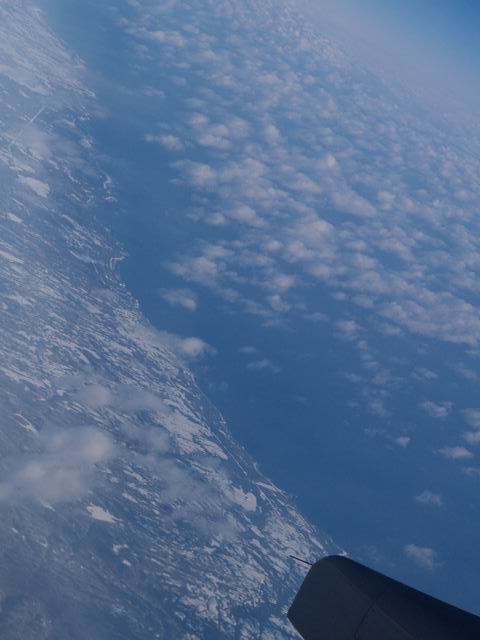
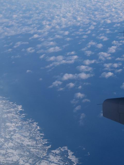
This series of images was taken after passing North-eastern Canada, when the aircraft reached the Eastern Atlantic coast once again and finally continued to Philadelphia. In MixClouds1.jpg to MixClouds5.jpg dry, cold, and nearly cloudless air can be noticed which was found above the snow covered continent. The coast of Maine is displayed from MixClouds6.jpg on. The air flow is from the land to the sea. This can be derived from the inclination of the clouds from the left to right side in some of the pictures. |
One recognizes that the cloudless air above the land continues a bit "downstream" over the sea before clouds are formed. Here the cold, dry air coming from the land is mixed with the warm, humid air over the ocean. The resulting mixture is super-saturated. So cloud formation can take place from the thermodynamic point of view. The mechanism behind this is shortly described in the chapter Isobaric Mixing. |
MixClouds1.jpg to MixClouds11.jpg: S. Borrmann, flight from Frankfurt to Philadelphia, 6 December 2004, 7:41 p.m. to 7:54 p.m. (MEZ) |
![]()