|
|
|
Stratocumulus (Sc) |
|
| Sc castellanus | |
| Sc lenticularis | |
| Sc stratiformis virga | |
| Sc opacus praecipitatio | |
| Orographic Sc | |
| Sc undulatus | |
| Overview | |

Stratocumulus castellanus Clouds

|
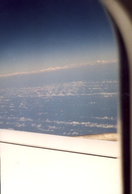
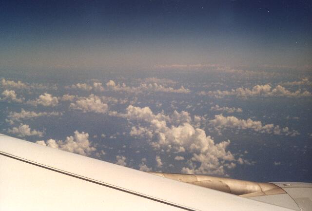
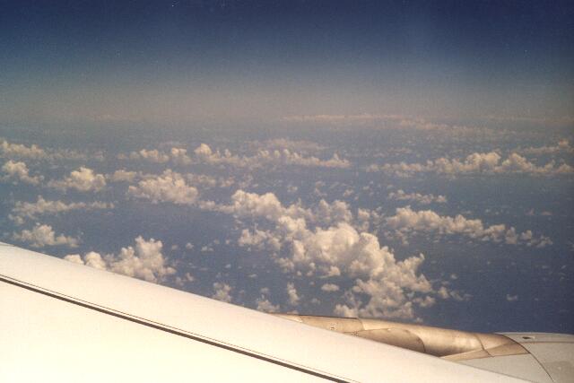
Castellanus1.jpg to Castellanus3.jpg: Cloud streets of Cumulus
castellanus (former castellatus) off the coast of Venezuela which
can be vaguely noticed in the background are presented here. These
clouds are formed in stable layered and cloudless air - a situation
that generally inhibits cloud formation. The buoyancy arises just
because of condensation and not because of ascending warm air
bubbles ("thermals"). Castellanus clouds are preferentially
found in the lowest level above the ocean. Here the temperature
gradient between sea surface and the air directly above is not
significant so that there is no strong convection. |
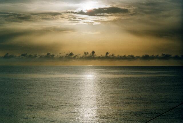
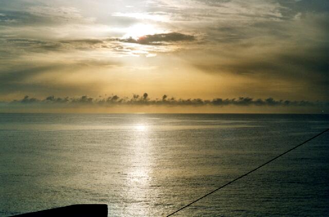
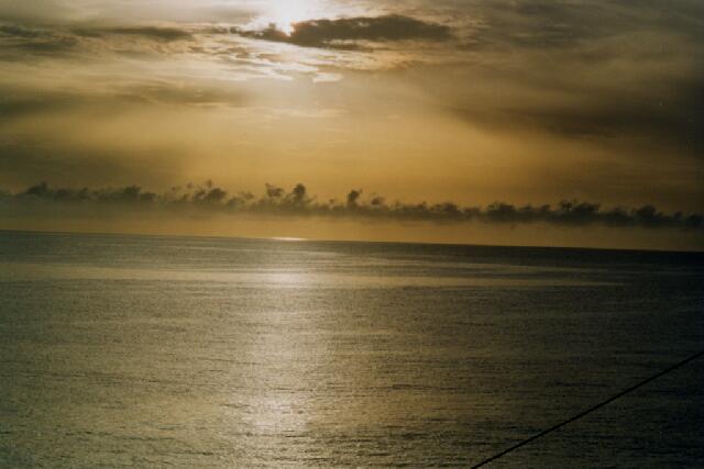
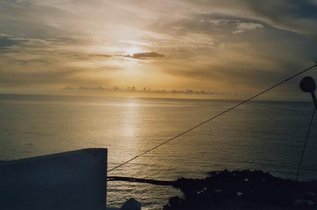
If the surrounding air of the clouds is very dry, Castellanus clouds or parts of them will quickly evaporate and Cumulus floccus clouds will be formed. In contrast to the larger Cumulus humilis or mediocris this type of clouds can be recognized at Castellanus1.jpg and Castellanus2.jpg near the engine suspension. Castellanus4.-9.jpg:Here Stratocumulus castellanus clouds were pictured from the sea surface. This series was taken between 8:00 and 8:25 a.m. local time in Arrieta, in Northern Lanzarote. One can see the rising position of the sun. The brownish colouring of the lowest air layer is due to Saharan dust which was transported to the island during these days. More details can be found at the chapter "Sahara Dust".
|
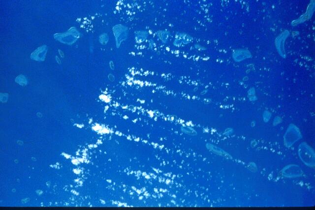
In the case of these clouds which also are Stratocumulus castellanus the cloud formation in the stable atmospheric layering is triggered by a small lift of the air. The average height of the atolls belonging to the Maldives Archipelago is 2 m above sea level. This small interference is sufficient to initiate the condensation which leads to buoyancy and cloud formation as a consequence of released latent heat.
Castellanus1-3.jpg: S. Borrmann, flight from Frankfurt to Bogota,
15 September 2001, Atlantic Coast at Venezuela |
![]()