Specials
Isobaric Mix Clouds
Mix Clouds II
Cold Front
Convective Action
Overview


Cold Front - View from an Aircraft

Twenty-three images of different cloud types are presented here which were taken during the flight from Frankfurt to Florence. The numbers in the file names correlate with the order and description of the images. Before departure a thunderstorm cold front passed the area around the airport at Frankfurt in the afternoon.


ColdFront1.jpg

Wilhelm Freddie

ColdFront2.jpg

show the clouds half an hour before the thunderclouds arrived at the airport. A similar scene was painted as a background by the Danish surrealist Wilhelm Freddie in his artwork. When the thunderclouds arrived heavy precipitation made it impossible to take further pictures through the windows of the terminal. The air traffic nearly totally stopped. The following images were taken during boarding of the airplane.


Cb_mammatus3.jpg

Cb4.jpg

Cb_mammatus3.jpg presents one of the four large, closely-related thunder cells from the bottom shortly after crossing the airport from west to east. The mammatus formation can be clearly noticed. Cb4.jpg shows the anvil of the Cumulonimbus thundercloud from below.

After departure the aircraft passed the cloud masses moving eastwards as shown next.


ColdFront5.jpg

ColdFront6.jpg

The cold front with the thunderstorm cells ran parallel to the Rhine. Cloud-free air of the cold sector behind the front was below the aircraft during the flight directly to the south. The cloud mass could be observed from the back taking a look to the east. Thus there are only Cumulus humilis clouds in the foreground,


Cb_incus7.jpg

Cb_incus8.jpg

Cb_incus9.jpg

whereby a Cumulonimbus incus with a tall anvil occurs in the background embedded in a field of Cumulus congestus. The anvil has already generated an ice phase and has been distorted by wind shearing. Cirrus fibratus clouds can be noticed at the top of the images. The cruising altitude of 10.3 km is slightly below the upper anvil limit and not much below the Cirrus clouds.


show in detail fully grown anvils of Cumulonimbus clouds further south.


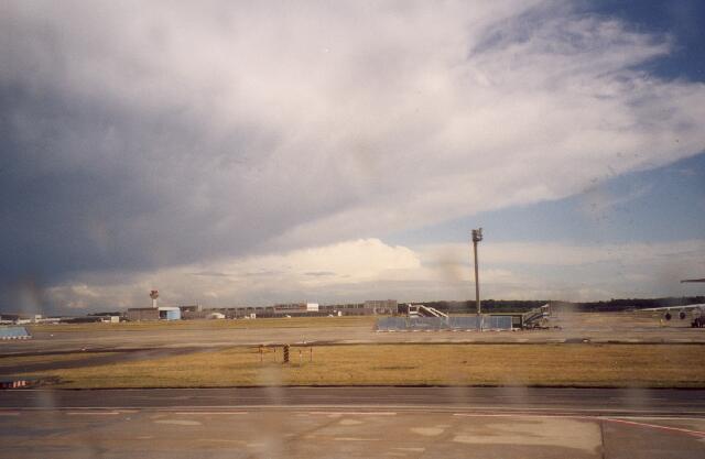
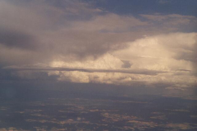
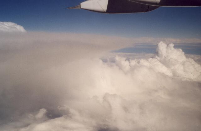
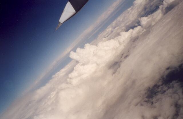
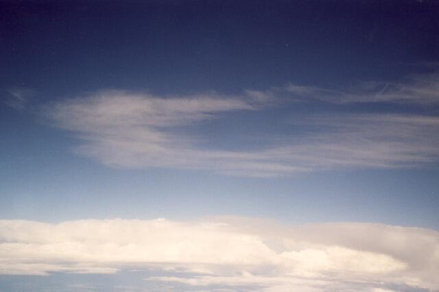
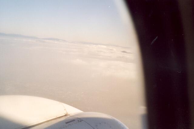
is a view of a flight directly above an anvil cloud. The images from the close prospect of the aircraft point out that the iced clouds do not have a fibre structure anymore. They seem to be more grey diffuse. Further south in the foothills of the Alps the aircraft closely passed several Cumulonimbus clouds under development.


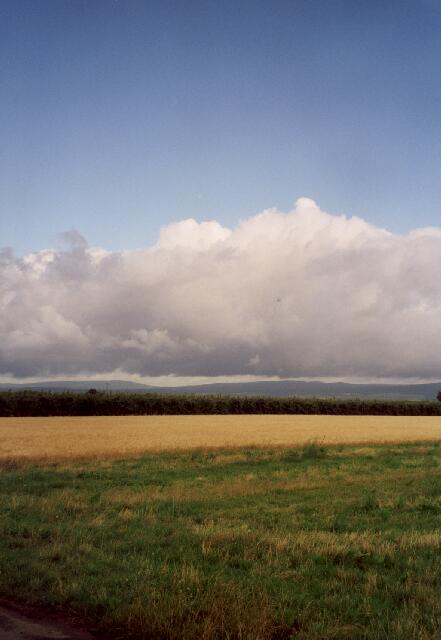
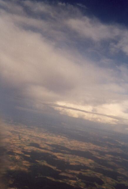
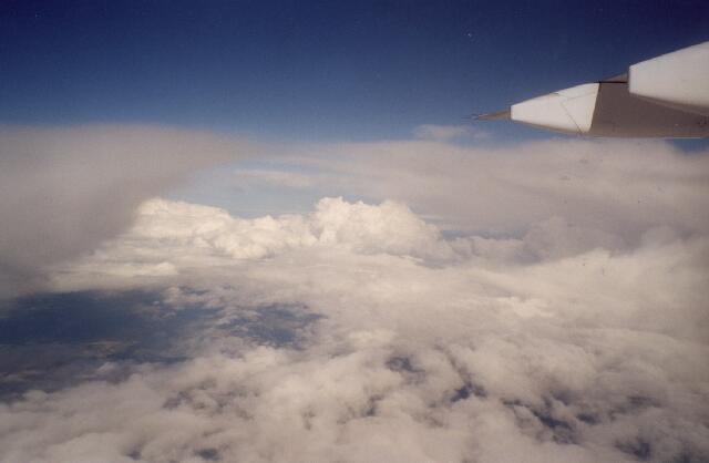
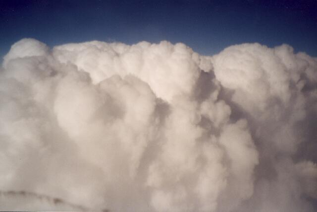
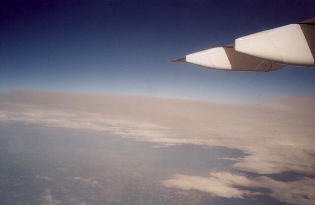
They belong most probably to Cumulonimbus calvus ones because of their relatively flat (not anymore cauliflower-like) cloud surface. The intense convection could be clearly determined. Also a Cumulonimbus incus was passed whose main cloud part extended above the ice-shield. Look at


Cb_incus17.jpg


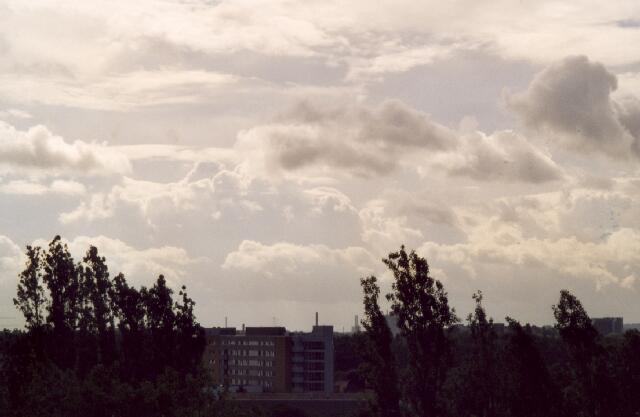
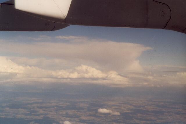
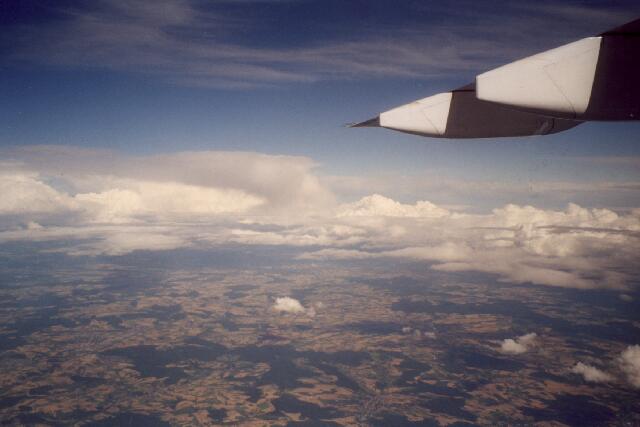
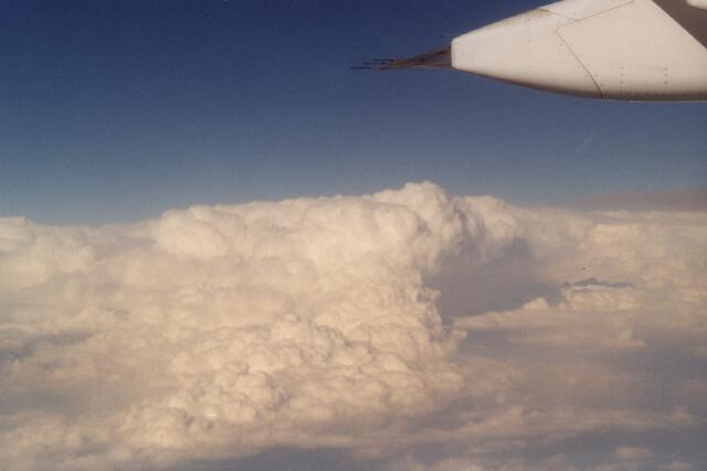
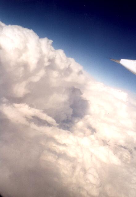
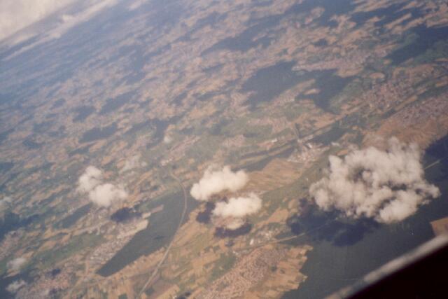
At the right side of the image an ascending Cumulus congestus cloud is visible.
An additional Cumulus congestus with three convective towers came across some minutes before and is pictured in


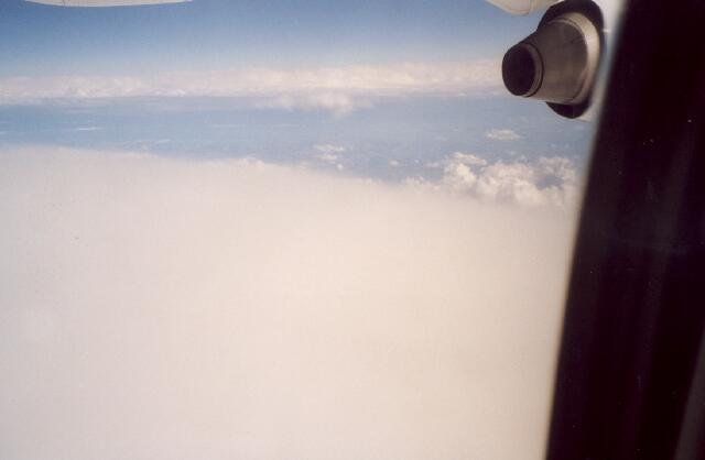
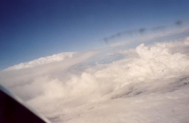
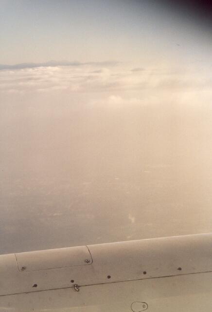
Behind the Alpes the aircraft moved closely below or directly above Cirrus clouds, most probably Cirrus fibratus. See

The view of the ice-clouds again changes according to the different distances. In Cirrus20.jpg a light white Altocumulus layer can be recognized below the diffuse grey Cirrus cloud. Approaching Florence Cumulus humilis clouds occurred at first.

Further a hazy boundary layer at the Italian low mountain range in the background occurred as well as arising Cumulus clouds at the top of the boundary layer.


S. Borrmann, flight from Frankfurt to Florence, 18 July 2001, 5:10 to 6:30 p.m.

Wilhelm Freddie, "The Egg of Giorgio de Chirico" (1941), Oil on Canvas, 98 cm x 87 cm, Gallery 1900 - 2000, Paris