|
|
|
Precipitation |
|
| Objects in Clouds | |
| Falling Rain Droplet | |
| Virga and Praecipitatio | |
| Microburst | |
| Rainshaft | |
| Falling Cloud | |
| Tropical Rain | |
| Tropical Rainforest | |
| Flood | |
| Diamond Dust | |
| Overview | |

Tropical Rain


|
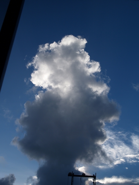
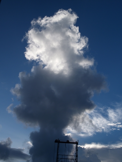
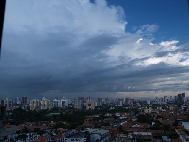
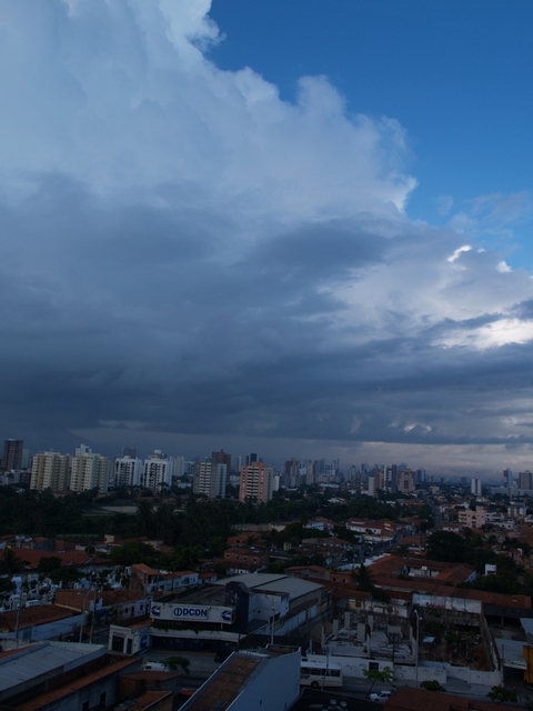
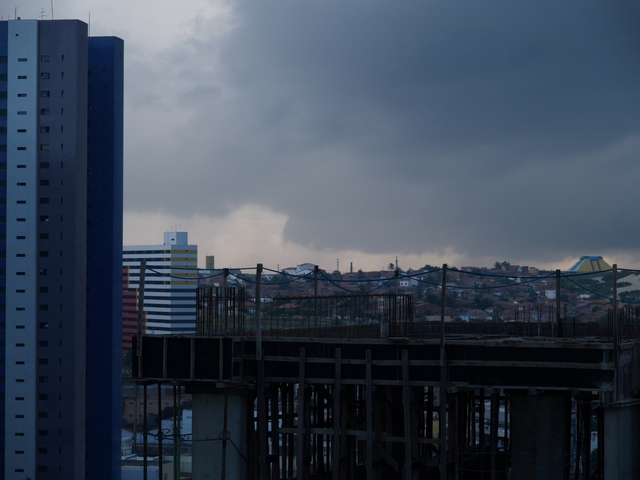
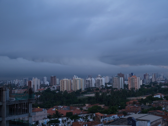
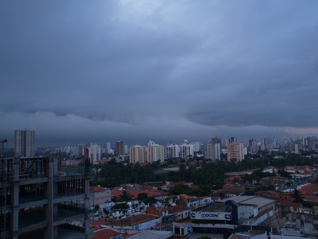
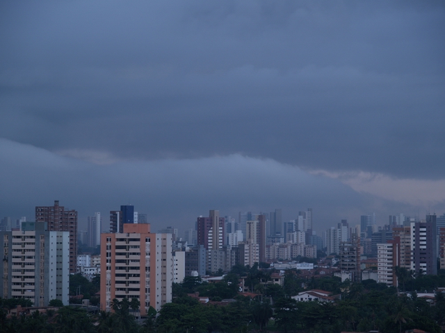
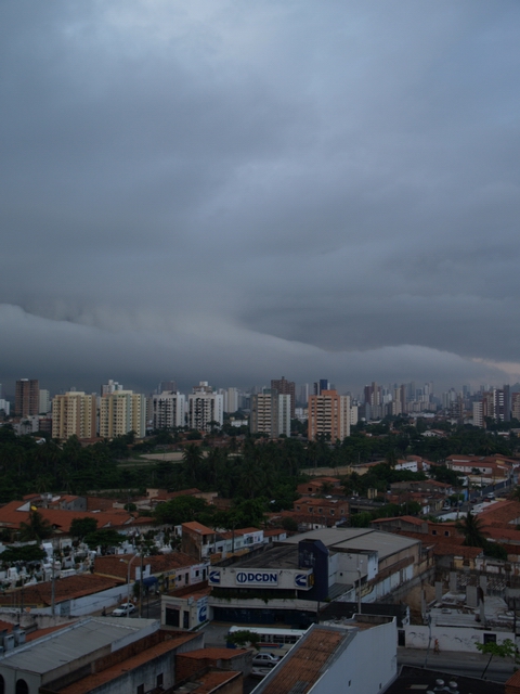
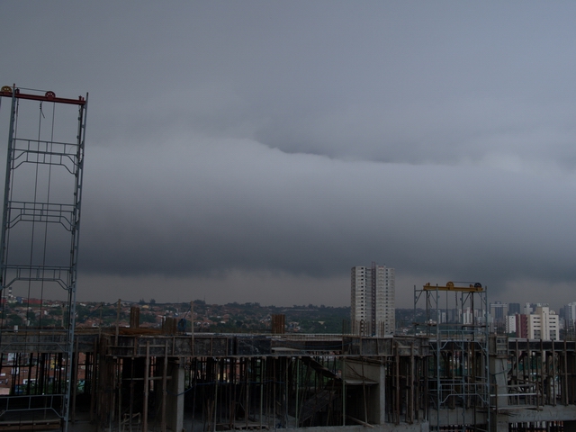
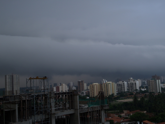
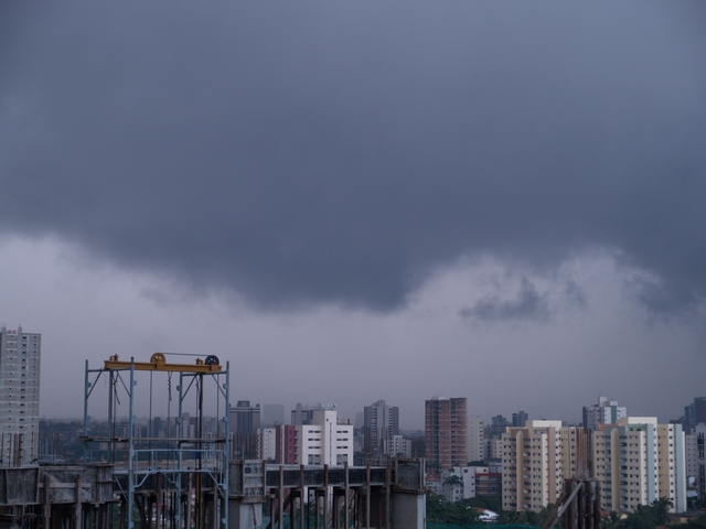
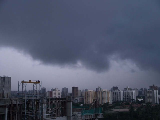
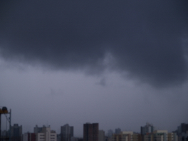
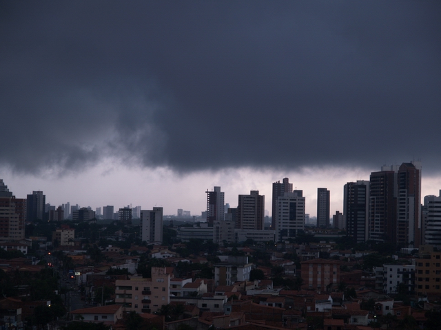
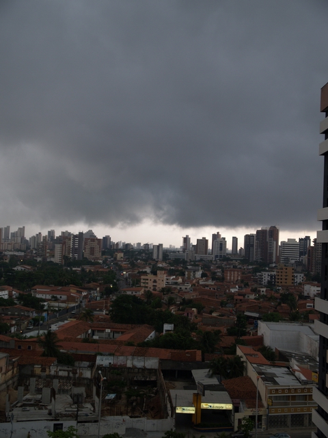
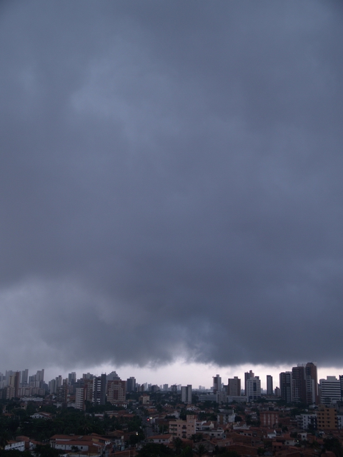
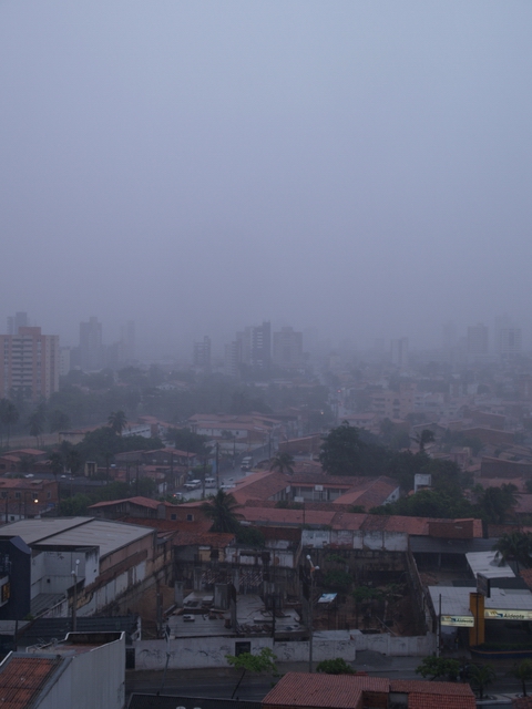
This series of images was taken from the 9th level of a multi-storey building near the coastal road "Avenida Beira Mar" at Fortaleza. At first small Cumulus congestus clouds arrived from easterly directions parallel to the coast. They showed a very fast convective development (Rain1.jpg and Rain2.jpg). Then a large cloud complex came up which was partly above the ocean and partly above the land (from Rain3.jpg on). The series shows the formation of blast rotors, hints of a "wall cloud" (Rain7.jpg) and finally the beginning of precipitation at the location of the observer (Rain22.jpg). |
The low altitude of the base of the major clouds which almost reached
down to the twenty-two storey buildings is remarkable. The temperature
of the rain was relatively warm. Therefore it cannot be said for
sure that the ice-phase was involved in the rain formation. It could
be also a large Cumulus congestus complex or a Cumulonimbus calvus
cloud having not formed an iced anvil yet. The observed event lasted
for around 20 minutes, however the cloud proceeded in westerly direction.
|
Rain1.jpg to Rain22.jpg: S. Borrmann, Fortaleza, Ceara, Brazil,
29 February 2004, 6:34 a.m. to 7:58 a.m.
Camera Parameters Olympus E-1 SLR with 14-54 mm objective. Exposure and ASA selectivity choice (100 ASA) were performed by the program automation of the camera. The images were taken in the sRGB colour range with a resolution of 2560 x 1920 Pixel x 24 colours. |
![]()