
Tropical Cumulus Clouds


|
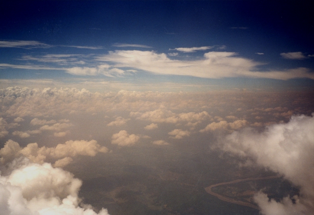
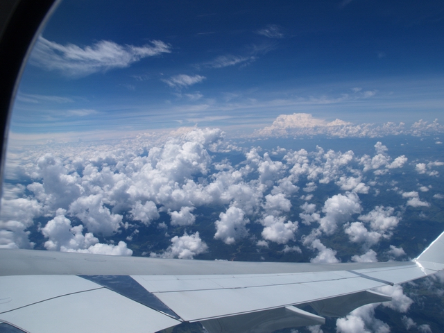
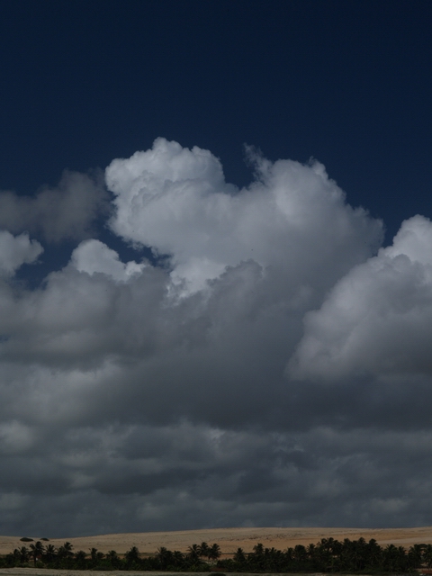
Generally the clouds in the tropes are not different from those in other latitudes. Nevertheless the temperatures at the ground and the absolute water vapour content of the air are mostly higher. Hence, for example the convection can become much stronger. Furthermore the clouds are extended to larger altitudes, since the tropical tropopause is found to be between 15 and 19 km. Therefore here the airliners fly near by or in between the clouds, whereas they travel significantly above the highest clouds on the polar routes. CuTropics1.jpg: Different Cumulus clouds are found to be over a
dense fume layer: Altocumulus mediocris and Altocumulus congestus.
In the upper level Cirrus clouds occur, most probably a kind of
"spissatus".
|
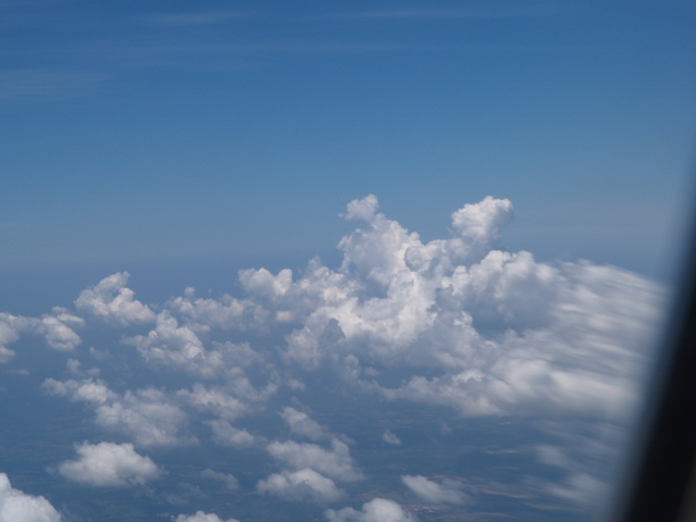
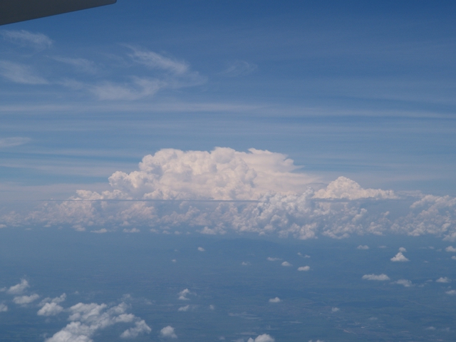
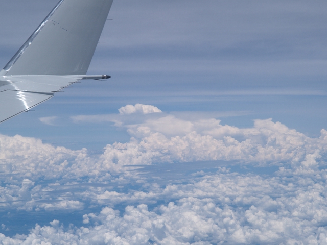
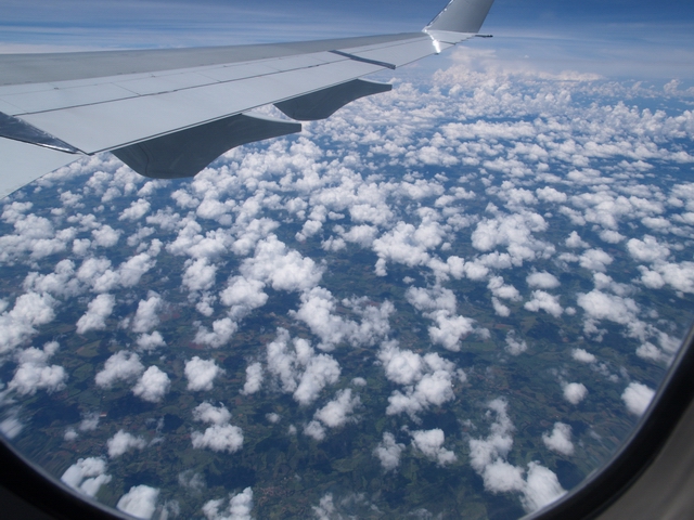
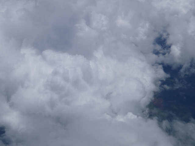
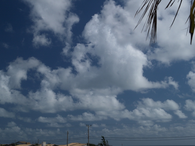
CuTropics4.jpg: A composition consisting of Cumulus humilis, Cumulus mediocris and congestus clouds. In the background the Cb from CuTropics3.jpg is displayed. CuTropics5.jpg: Predominantly a field of Cumulus mediocris clouds between the wing and the border of the cabin window. CuTropics6.jpg: View onto the active convection zone of a Cumulus congestus cloud. The following series shows the temporal development of clouds at
the morning of the 22 February 2004. During forty five minutes different
stages were passed and therefore different kinds of clouds were
formed. CuTropics7.jpg: A Field of Cumulus mediocris clouds pictured from the ground. This kind of cloud is characteristic for North-East Brazil. It can be noticed nearly each day in winter (i.e. between end of December to end of May). CuTropics8.jpg: A Cumulus humilis cloud which changes in meantime to Cu mediocris or evaporates. CuTropics9.jpg: A field of Cumulus mediocris clouds whereby the single clouds coalesce slowly to larger ones. The major cloud bases are very low as the ones shown in CuTropics8.jpg. CuTropics10.jpg: Further coalescence and increasing stacking of
the clouds shown in CuTropics7.jpg and CuTropics9.jpg to the stage
of Cumulus congestus.
|
CuTropics1.jpg: S. Borrmann, flight from Bogota to Frankfurt,
1 October 2001, late afternoon
Camera Parameters Olympus E-1 SLR with a 14-54 mm objective. Exposure und ASA sensitivity choice are performed by the program automatic of the camera. The following images were all taken with a sensitivity of ASA 200 (except CuTropics9.jpg (100ASA)). A sRGB colour range with a resolution of 2560 x 1920 Pixel x 24 colours is given.
|
![]()